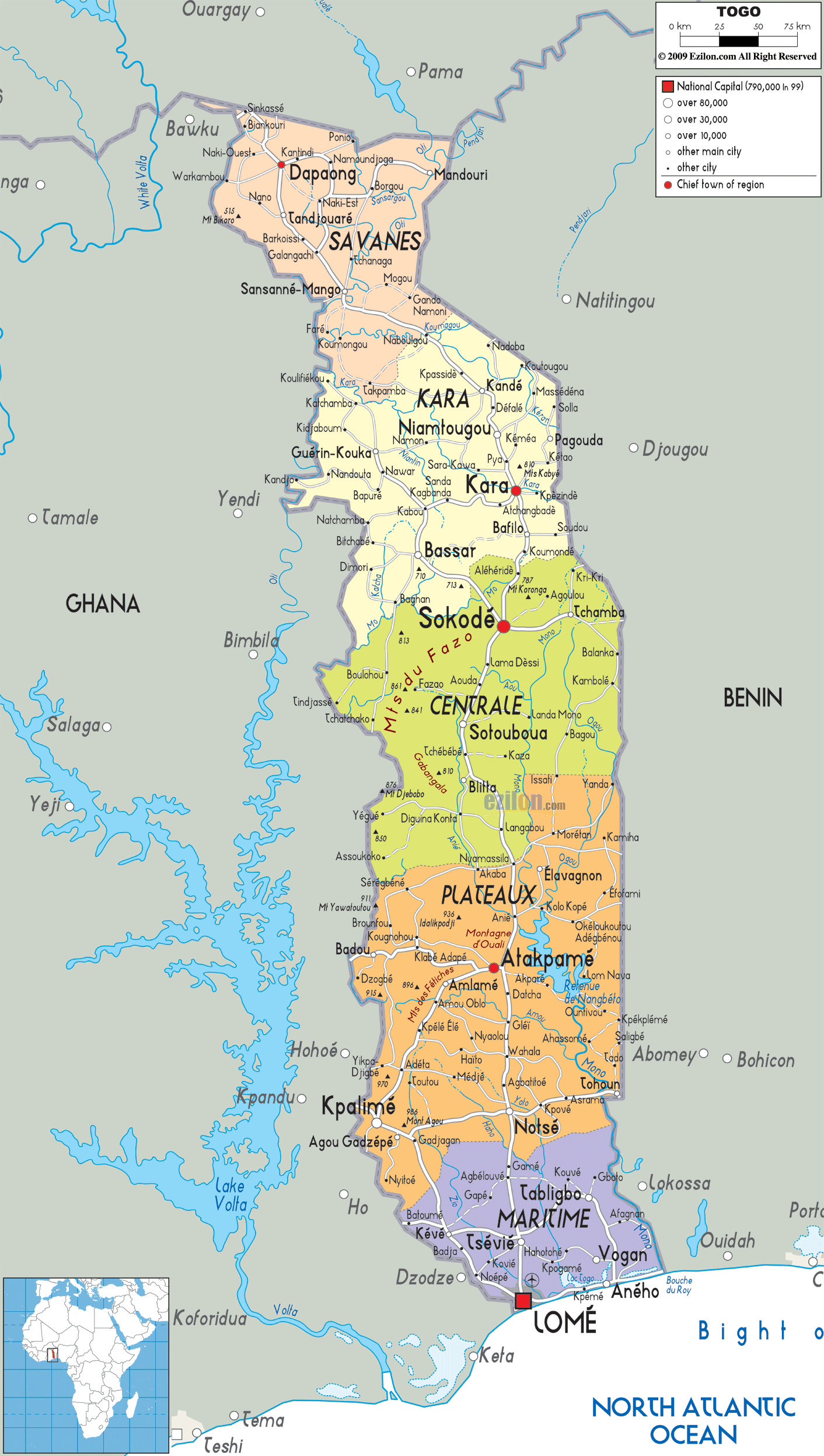
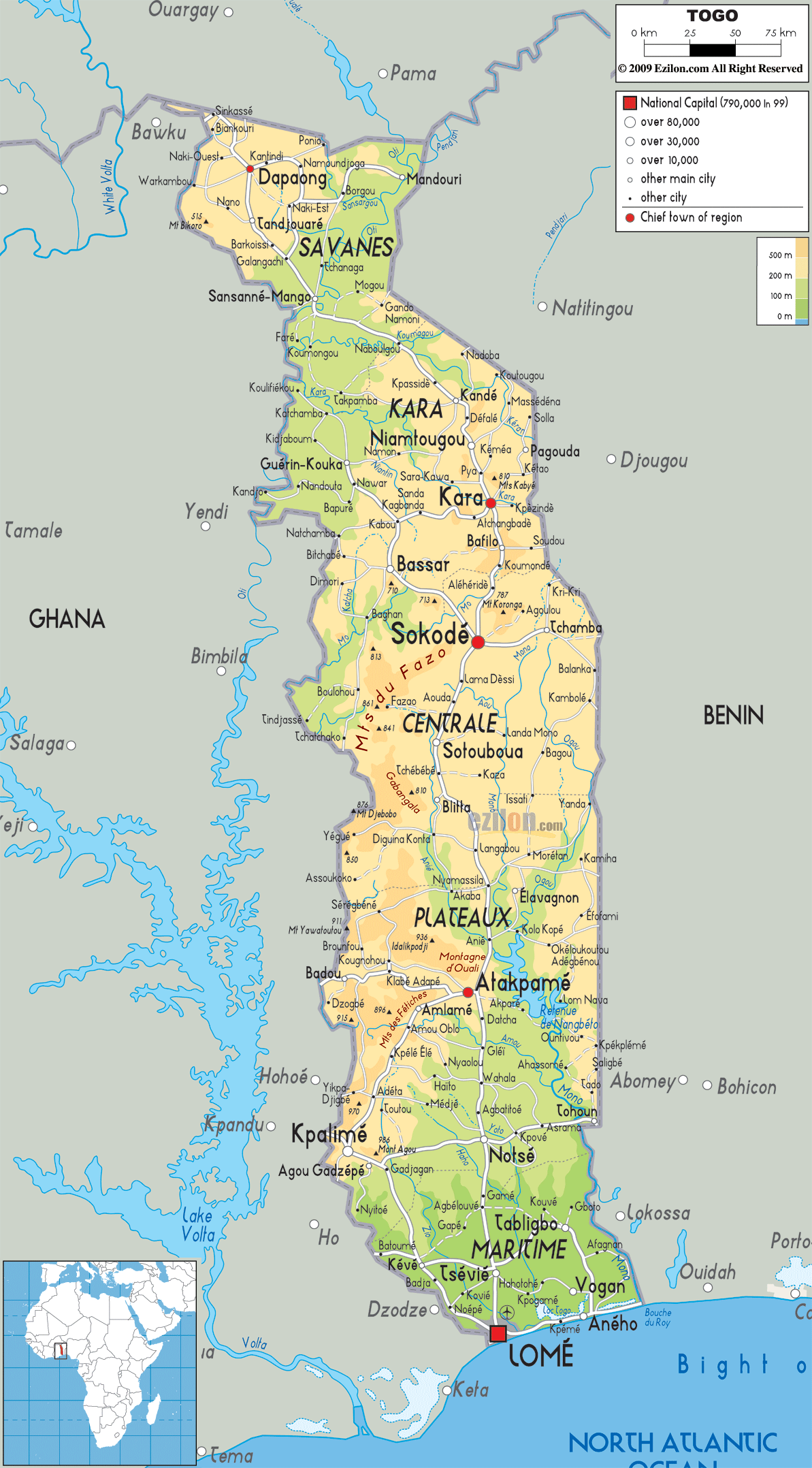
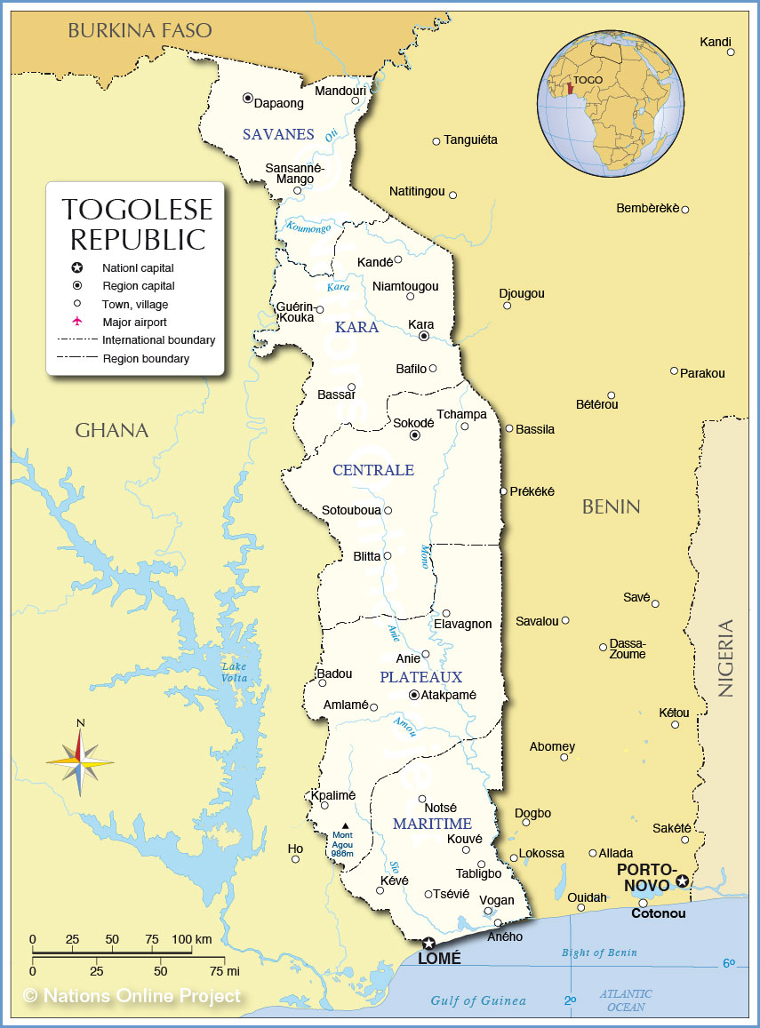
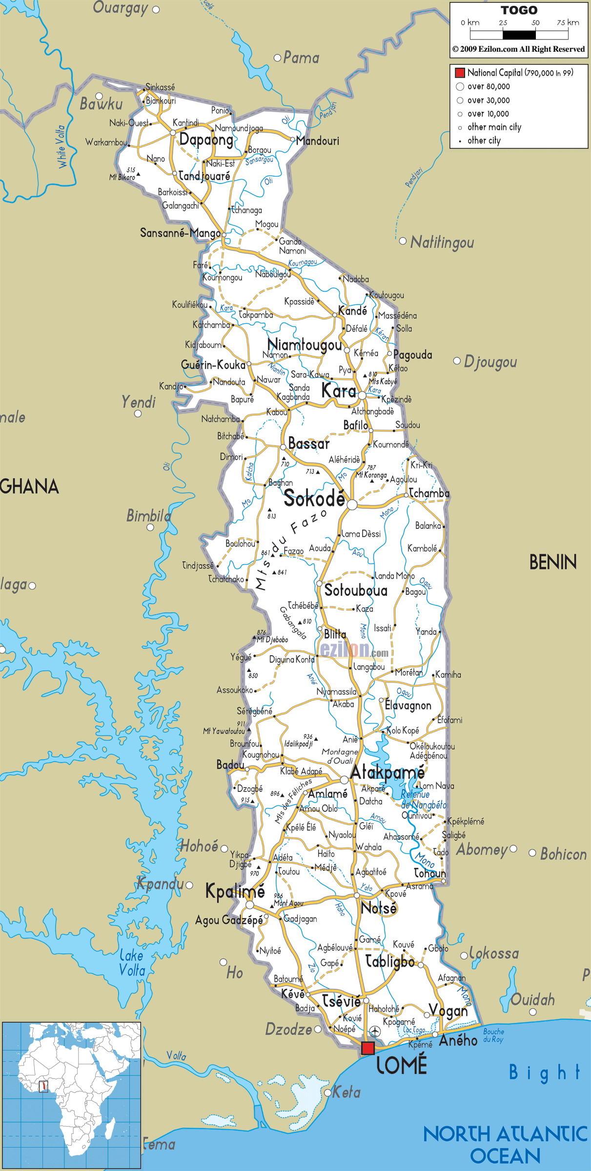
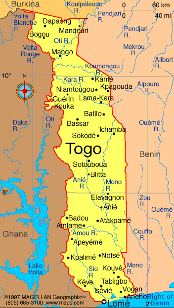
Togo , officially the Togolese Republic (French: République Togolaise), is a country in West Africa bordered by Ghana to the west, Benin to the east and Burkina Faso to the north. It extends south to the Gulf of Guinea, where its capital Lomé is located. Togo covers 57,000 square kilometres (22,000 sq mi), making it one of the smallest countries in Africa, with a population of approximately 6.7 million.
Togo is a tropical, sub-Saharan nation, highly dependent on agriculture, with a climate that provides good growing seasons. The official language is French, with many other languages spoken in Togo, particularly those of the Gbe family. The largest religious group in Togo are those with indigenous beliefs, and there are significant Christian and Muslim minorities. Togo is a member of the United Nations, African Union,Organisation of Islamic Cooperation, South Atlantic Peace and Cooperation Zone, La Francophonie and Economic Community of West African States.
From the 11th to the 16th century, various tribes entered the region from all directions. From the 16th century to the 18th century, the coastal region was a major trading center for Europeans in search of slaves, earning Togo and the surrounding region the name "The Slave Coast". In 1884, Germany declared Togoland a protectorate. After World War I, rule over Togo was transferred to France. Togo gained its independence from France in 1960.
In 1967, Gnassingbé Eyadéma led a successful military coup d'état after which he became president. At the time of his death in 2005, Gnassingbé was the longest-serving leader in modern African history, after having been president for 38 years.[7] In 2005, his son Faure Gnassingbé was elected president.