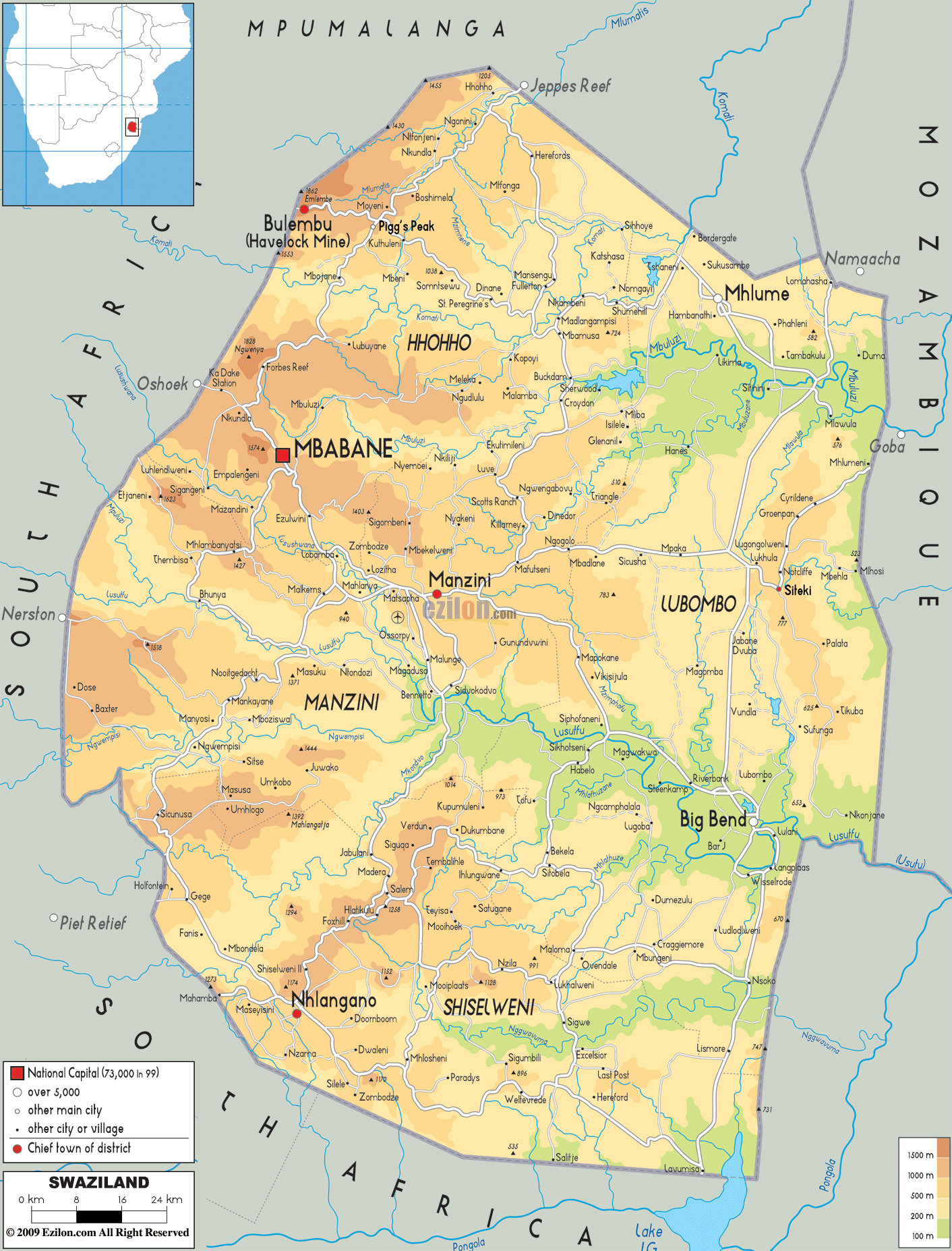
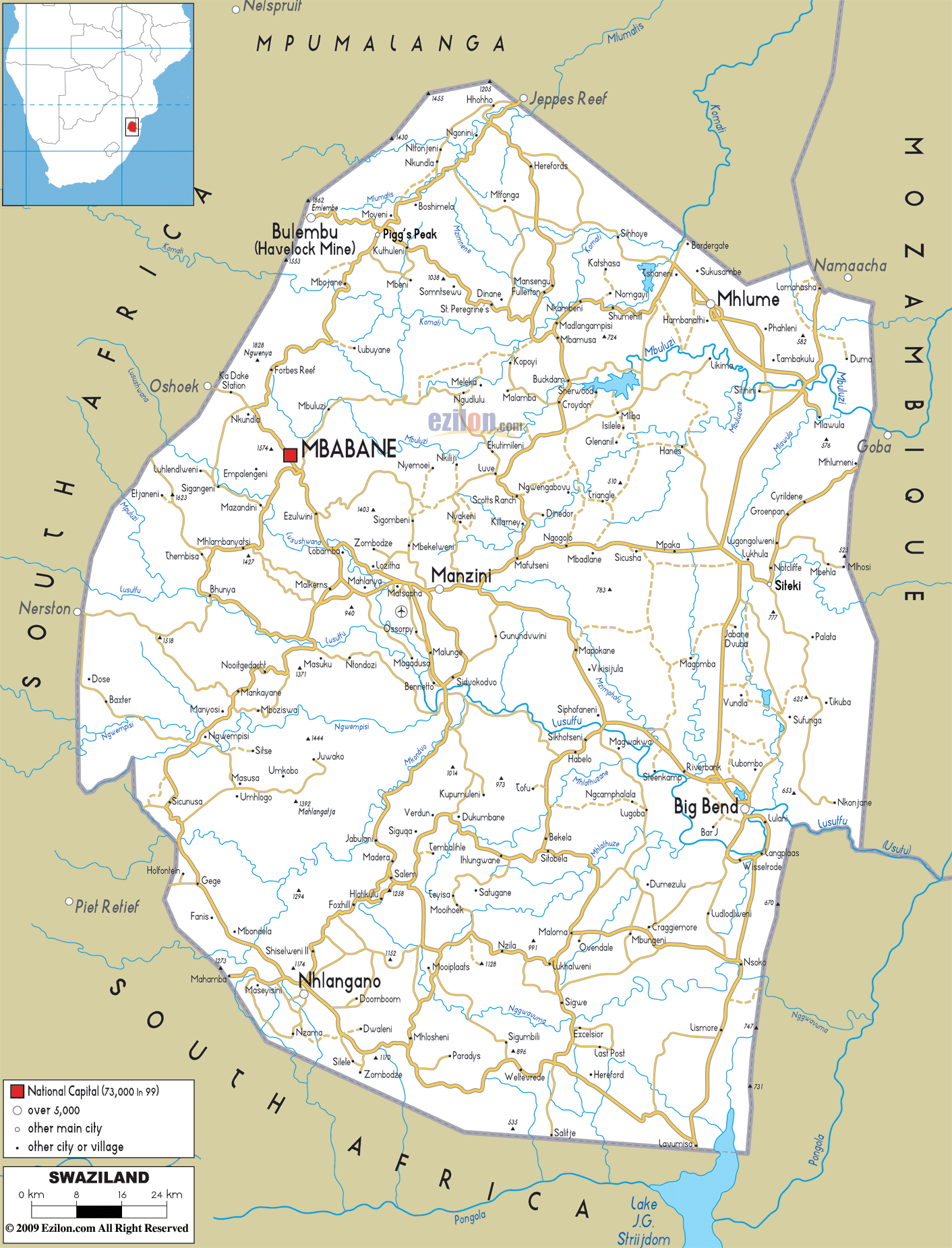
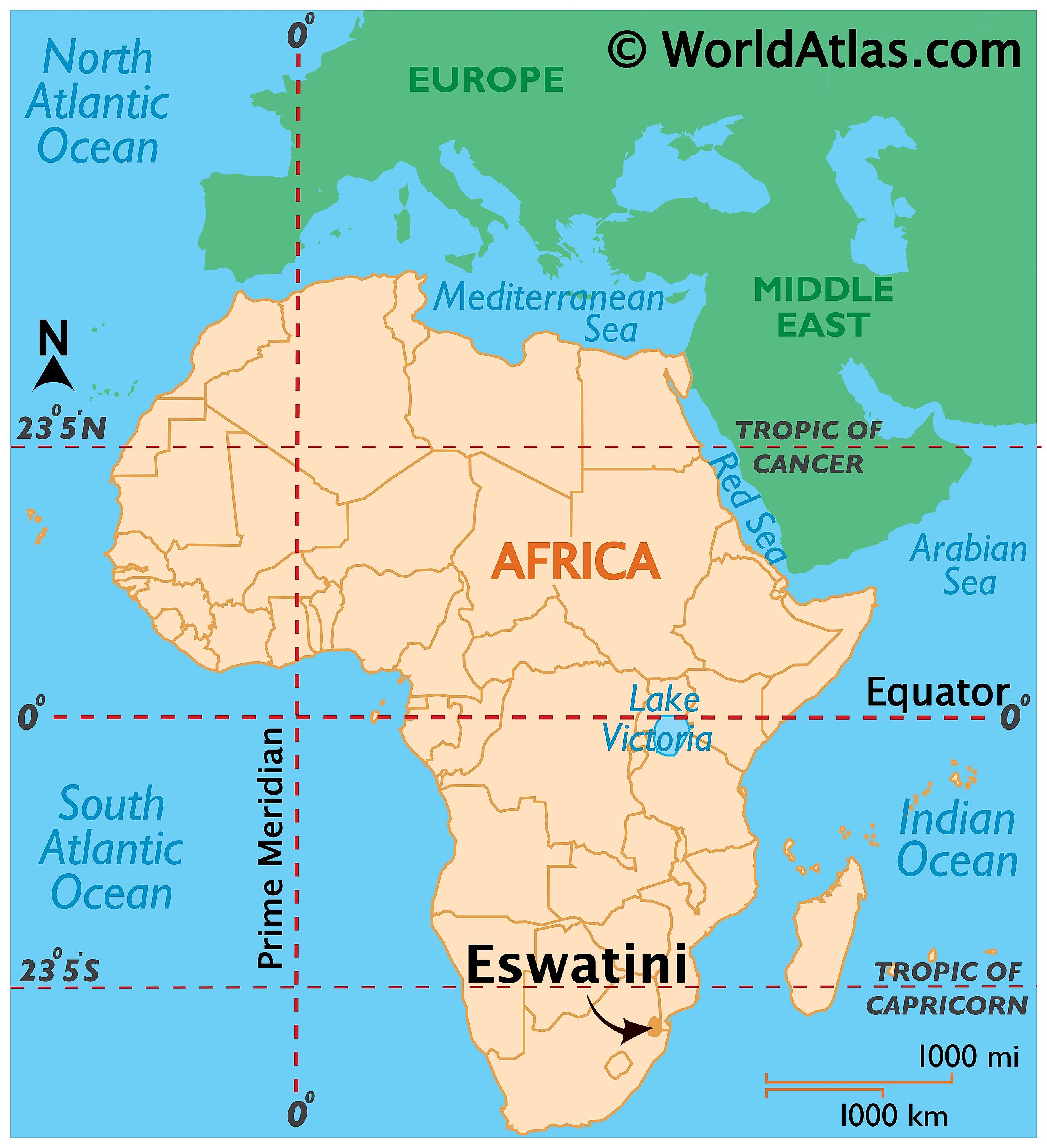
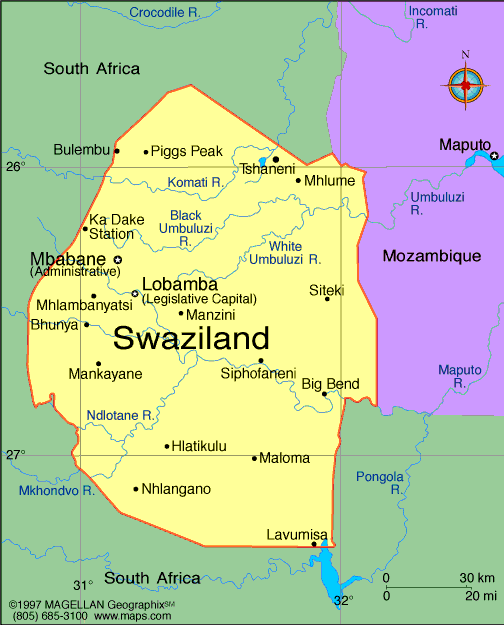
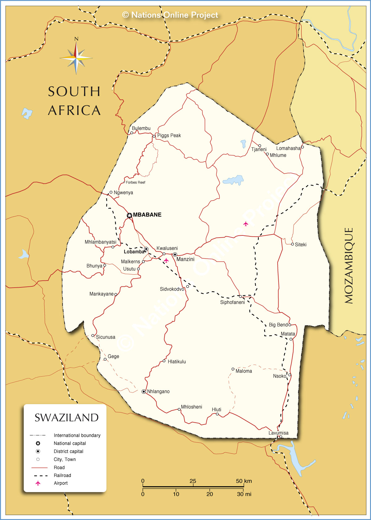
Swaziland, officially the Kingdom of Swaziland Swazi: Umbuso weSwatini ; sometimes called kaNgwane or Eswatini is a sovereign state in Southern Africa. It is neighbored by Mozambique to its east and by South Africa to its north, west and south. The country and its people take their names from Mswati II, the 19th-century king under whose rule Swazi territory was expanded and unified.
 At no more than 200 kilometres (120 mi) north to south and 130 kilometres (81 mi) east to west, Swaziland is one of the smallest countries in Africa. Despite its size, however, its climate and topography is diverse, ranging from a cool and mountainous highveld to a hot and dry lowveld. The population is primarily ethnic Swazis whose language is siSwati. They established their kingdom in the mid-18th century under the leadership of Ngwane III; the present boundaries were drawn up in 1881. After the Anglo-Boer War, Swaziland was a British protectorate from 1903 until 1967. It regained its independence on 6 September 1968.
The country is an absolute monarchy, currently ruled by Ngwenyama ("King") Mswati III. He is head of state and appoints the country's prime minister and a number of representatives of both chambers (Senate and House of Assembly) in the country's parliament. Elections are held every five years to determine the House of Assembly majority. The current constitution was adopted in 2005.