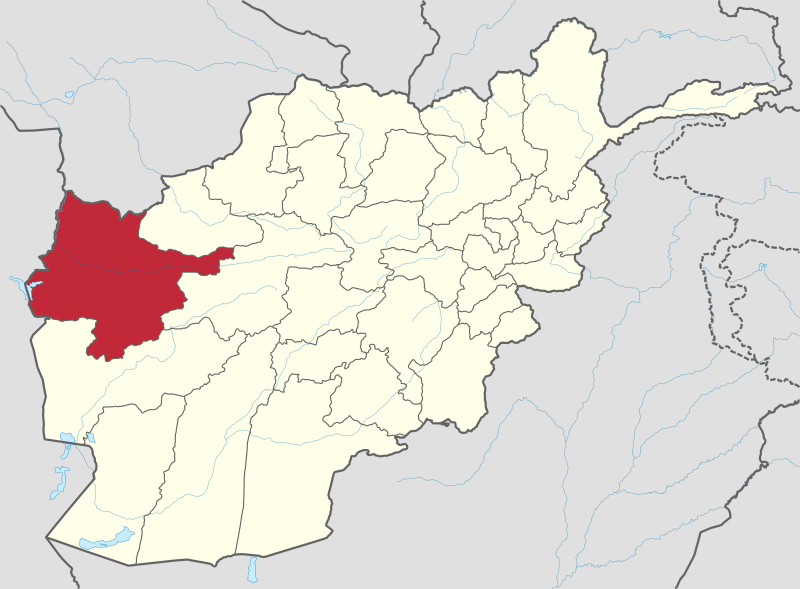
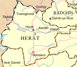
Herat (/hɛˈrɑːt/;[2] Persian: هرات; Pashto: هرات) is the third largest city of Afghanistan. It has a population of about 436,300,[1] which mostly consist of Tajiks. The city serves as the capital of Herat province, situated in the fertile valley of the Hari River. It is linked with Kandahar and Mazar-e-Sharif via highway 1 or the ring road. It is further linked to the city of Mashhad in neighboring Iran through the border town of Islam Qala.

Herat dates back to the Avestan times and was traditionally known for its wine. The city has a number of historic sites, including the Herat Citadel and the Mosallah Complex. During the Middle Ages Herat became one of the important cities of Khorasan, as it was known as the Pearl of Khorasan.[3] It has been governed by various Afghan rulers since the early 18th century.[4] In 1717, the city was invaded by the Hotaki forces until they were expelled by the Afsharids in 1736. After Nadir Shah's death and Ahmad Shah Durrani's rise to power in 1747, Herat became part of Afghanistan.[4] It witnessed some political disturbances and military invasions during the early half of the 19th century but the 1857 Treaty of Paris ended hostilities of the Anglo-Persian War.[5] Herat suffered from extensive destruction during the Soviet war in the 1980s, but certain parts of the city has been spared from it.
Herat lies on the ancient trade routes of the Middle East, Central and South Asia. The roads from Herat to Iran, Turkmenistan, and other parts of Afghanistan are still strategically important. As the gateway to Iran, it collects high amount of customs revenue for Afghanistan.[6] The city has an international airport.


